
All Images
Mapping science: How GIS transformed our view of the world
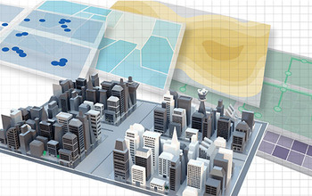
NSF's National Center for Geographic Information and Analysis played an essential role in the growth of geographic information science.
Credit: Alice Kitterman/U.S. National Science Foundation
Download the high-resolution JPG version of the image. (69.7 KB)
Use your mouse to right-click (Mac users may need to Ctrl-click) the link above and choose the option that will save the file or target to your computer.