All Images
News Release 12-008
Federal Government Releases Action Plan to Address Ocean Challenges
Draft requests comments on actions agencies will take to improve the health of oceans, coasts, Great Lakes
This material is available primarily for archival purposes. Telephone numbers or other contact information may be out of date; please see current contact information at media contacts.

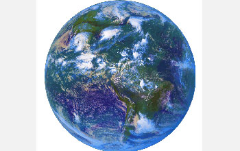
The National Ocean Policy action plan addresses ocean, coastal and Great Lakes challenges.
Credit: NOAA
Download the high-resolution JPG version of the image. (584 KB)
Use your mouse to right-click (Mac users may need to Ctrl-click) the link above and choose the option that will save the file or target to your computer.

The National Science Foundation's Ocean Observatories Initiative will play a key role.
Credit: Center for Environmental Visualization, University of Washington
Download the high-resolution JPG version of the image. (4 MB)
Use your mouse to right-click (Mac users may need to Ctrl-click) the link above and choose the option that will save the file or target to your computer.

NSF supports discoveries such as the geology, biology and chemistry of deep-sea vents.
Credit: NOAA
Download the high-resolution JPG version of the image. (118 KB)
Use your mouse to right-click (Mac users may need to Ctrl-click) the link above and choose the option that will save the file or target to your computer.

Ocean currents and gyres (pictured here) are integral parts of Earth's climate system.
Credit: NOAA
Download the high-resolution JPG version of the image. (204 KB)
Use your mouse to right-click (Mac users may need to Ctrl-click) the link above and choose the option that will save the file or target to your computer.

Coral reefs are threatened by ocean acidification and other effects of global climate change.
Credit: NOAA
Download the high-resolution JPG version of the image. (7.7 MB)
Use your mouse to right-click (Mac users may need to Ctrl-click) the link above and choose the option that will save the file or target to your computer.

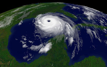
Are hurricanes like Katrina increasing in frequency and strength? More research is needed.
Credit: NOAA
Download the high-resolution JPG version of the image. (71 KB)
Use your mouse to right-click (Mac users may need to Ctrl-click) the link above and choose the option that will save the file or target to your computer.
