
All Images
Impact
Underwater GPS changes the map
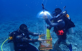
A combination of advanced imaging, GPS buoys and software improves seafloor observation.
Credit: Jason S. Biggs, University of Guam Marine Laboratory
Download the high-resolution JPG version of the image. (2.5 MB)
Use your mouse to right-click (Mac users may need to Ctrl-click) the link above and choose the option that will save the file or target to your computer.