All Images
News Release 16-092
Volcanic eruption masked acceleration in sea level rise
Mount Pinatubo eruption predated start of satellite observation record
This material is available primarily for archival purposes. Telephone numbers or other contact information may be out of date; please see current contact information at media contacts.

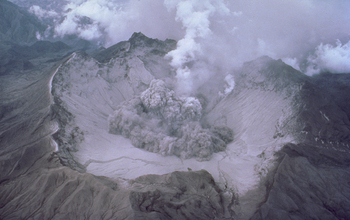
Mount Pinatubo's 1991 eruption and its effects masked sea level rise.
Credit: USGS
Download the high-resolution JPG version of the image. (598.0 KB)
Use your mouse to right-click (Mac users may need to Ctrl-click) the link above and choose the option that will save the file or target to your computer.

Earth, with a sea level rise of 19.7 feet. Imagine a possible future rise of several times that.
Credit: NASA
Download the high-resolution JPG version of the image. (248.5 KB)
Use your mouse to right-click (Mac users may need to Ctrl-click) the link above and choose the option that will save the file or target to your computer.

How far will sea levels rise? The rate is increasing over time.
Credit: NOAA
Download the high-resolution JPG version of the image. (91.4 KB)
Use your mouse to right-click (Mac users may need to Ctrl-click) the link above and choose the option that will save the file or target to your computer.

Sea level rise puts wetlands along U.S. coastlines and around the world at risk.
Credit: NOAA
Download the high-resolution JPG version of the image. (130.9 KB)
Use your mouse to right-click (Mac users may need to Ctrl-click) the link above and choose the option that will save the file or target to your computer.

Virginia Beach and other cities and towns built on barrier islands may be swamped by rising sea levels.
Credit: NOAA
Download the high-resolution JPG version of the image. (667.7 KB)
Use your mouse to right-click (Mac users may need to Ctrl-click) the link above and choose the option that will save the file or target to your computer.

In this simulation, the rise in sea level puts the coast of Louisiana underwater.
Credit: NASA
Download the high-resolution JPG version of the image. (195.1 KB)
Use your mouse to right-click (Mac users may need to Ctrl-click) the link above and choose the option that will save the file or target to your computer.
