All Images
News Release 05-165
Seeing Into the Eye of Hurricane Rita
Weather model advances hurricane intensity prediction
This material is available primarily for archival purposes. Telephone numbers or other contact information may be out of date; please see current contact information at media contacts.

NCAR's Advanced Research WRF projects an outlook for the development of hurricanes approaching the southeastern United States once or twice daily. This image displays a prediction of Hurricane Rita's status by 2:00 p.m. Eastern Daylight Savings Time on Wednesday, September 21, based on observed conditions reported at 8:00 p.m. EDT on Tuesday, September 20. The high resolution (2.5 miles or 4 kilometers) provides a detailed look at rainbands, intensity, and other important features.
Credit: National Center for Atmospheric Research, ARW
Download the high-resolution JPG version of the image. (52 KB)
Use your mouse to right-click (Mac users may need to Ctrl-click) the link above and choose the option that will save the file or target to your computer.

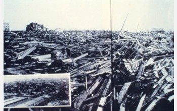
Damage caused by the Galveston hurricane of 1900 is the worst in U.S. history.
Credit: NOAA
Download the high-resolution JPG version of the image. (86 KB)
Use your mouse to right-click (Mac users may need to Ctrl-click) the link above and choose the option that will save the file or target to your computer.

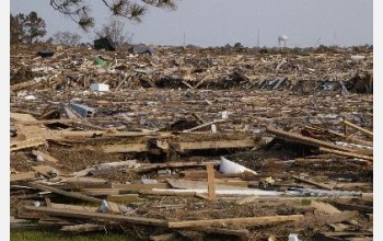
This part of Slidell, La., was flattened by Hurricane Katrina.
Credit: FEMA
Download the high-resolution JPG version of the image. (53 KB)
Use your mouse to right-click (Mac users may need to Ctrl-click) the link above and choose the option that will save the file or target to your computer.


