
Multimedia Gallery
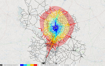
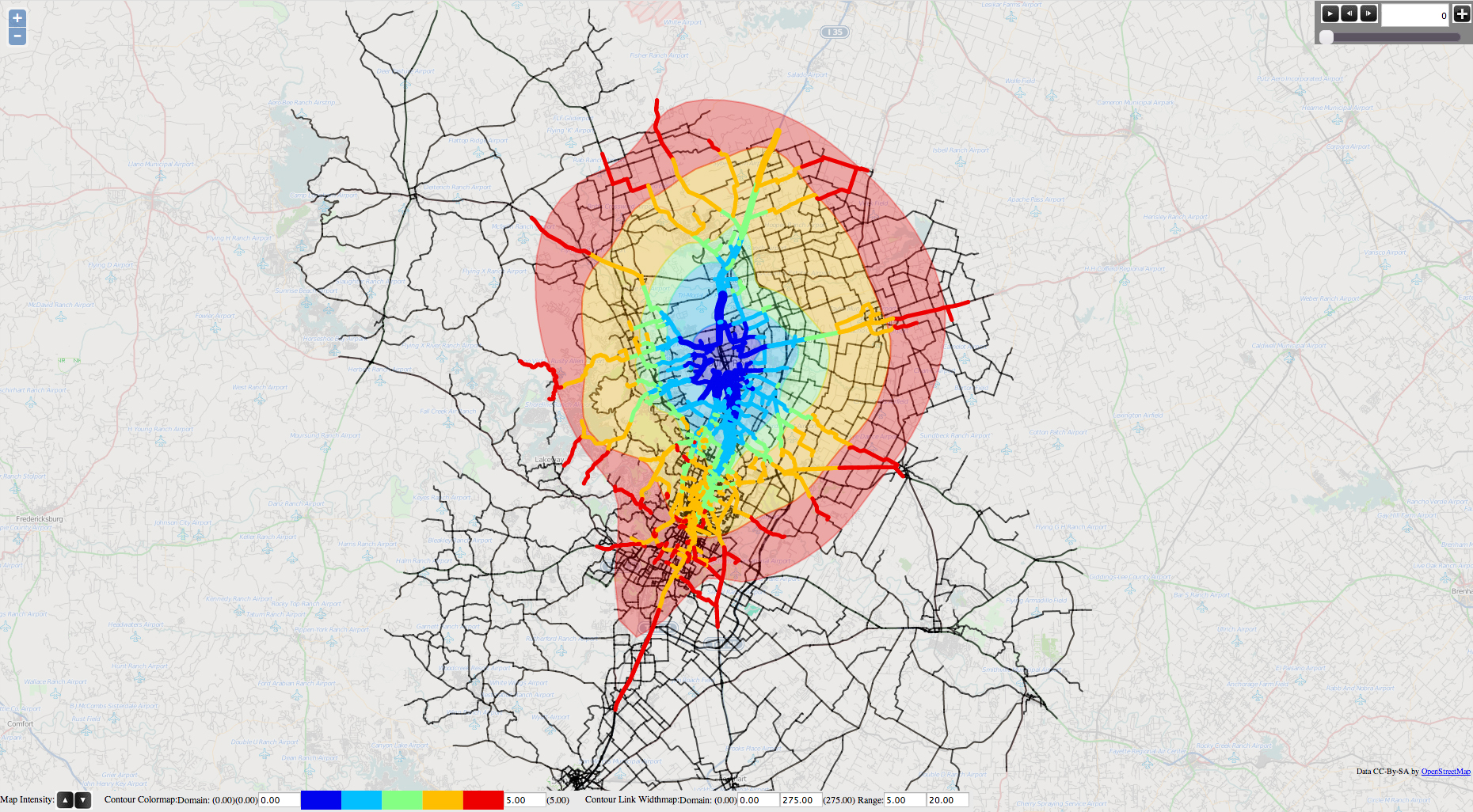
Travel time contour map
This travel time contour map gives a representation of the minimum time required to reach a location in a transportation network from selected origins. By analyzing travel time contours and their variation during the day, transportation planners are able to assess the impact of congestion on the connectivity of selected areas. The map is generated by processing the spatio-temporal trajectory of thousands of vehicles, as produced by an advanced transportation planning model.
The Capital Area Metropolitan Planning Organization (CAMPO) is the federally mandated metropolitan planning organization (MPO) responsible for comprehensive transportation planning in the Austin, Texas, area.
The data being visualized comes from the Center for Transportation Research at the University of Texas (UT) at Austin. The visualization application was developed at the Texas Advanced Computing Center (TACC) at UT-Austin and the visualization itself was generated there. TACC is part of the National Science Foundation's Extreme Science and Engineering Discovery Environment (XSEDE), the foundation's investment in an integrated, advanced cyberinfrastructure that will empower America's scientists and engineers to interactively share advanced computational resources, data and expertise in order to further research across scientific disciplines. (Date of Image: May 2014)
Credit: Greg Abram, Texas Advanced Computing Center, University of Texas at Austin; Natalia Ruiz Juri, Mason Gemar, Jackson Archer, Ken Perrine, Dennis Bell, Jennifer Duthie, Center for Transportation Research, University of Texas at Austin
Images and other media in the National Science Foundation Multimedia Gallery are available for use in print and electronic material by NSF employees, members of the media, university staff, teachers and the general public. All media in the gallery are intended for personal, educational and nonprofit/non-commercial use only.
Images credited to the National Science Foundation, a federal agency, are in the public domain. The images were created by employees of the United States Government as part of their official duties or prepared by contractors as "works for hire" for NSF. You may freely use NSF-credited images and, at your discretion, credit NSF with a "Courtesy: National Science Foundation" notation.
Additional information about general usage can be found in Conditions.
Also Available:
Download the high-resolution JPG version of the image. (1.5 MB)
Use your mouse to right-click (Mac users may need to Ctrl-click) the link above and choose the option that will save the file or target to your computer.