
Multimedia Gallery
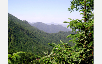
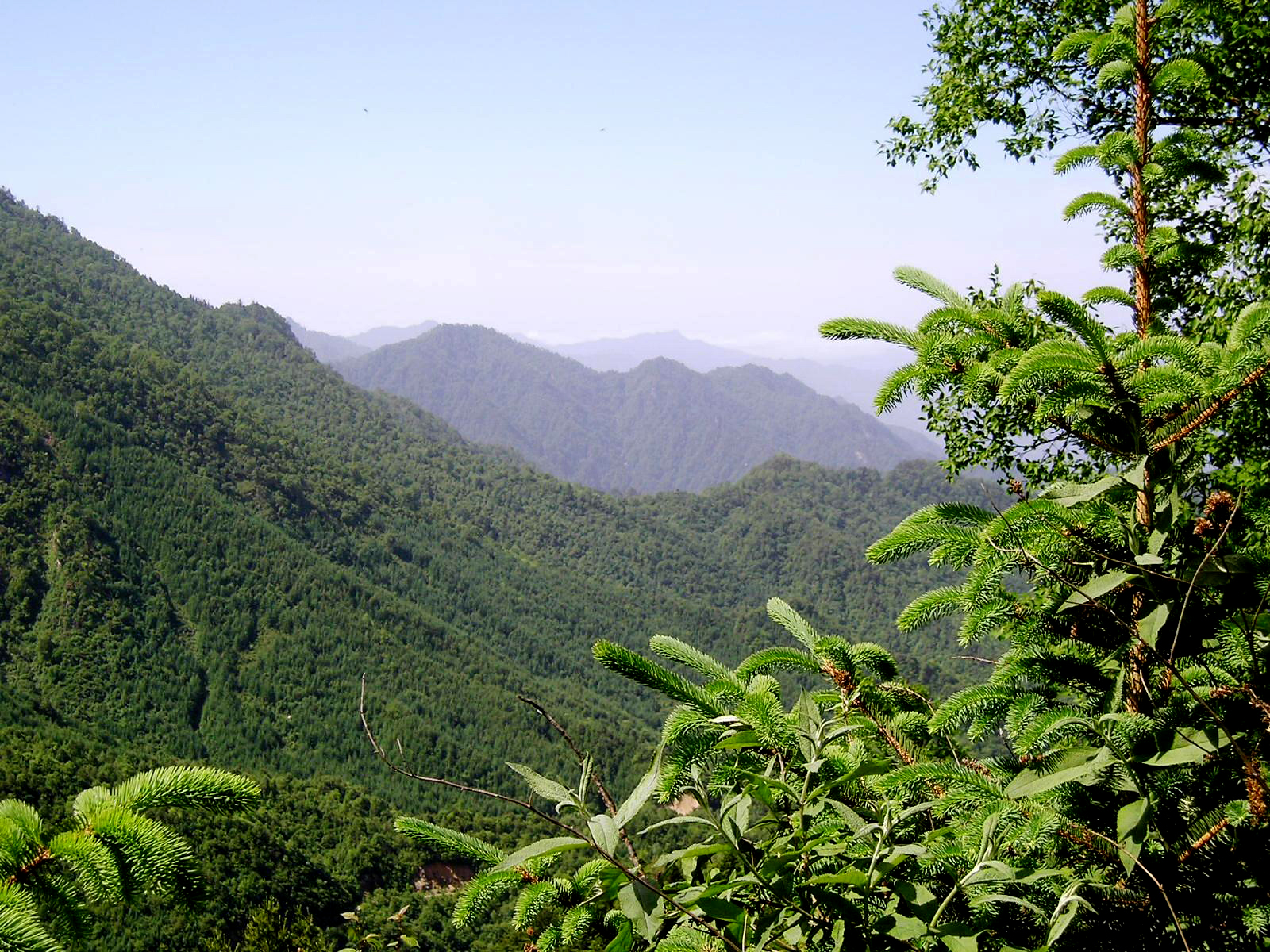
Qinling Mountain region of the Changqing Nature Reserve
The Qinling Mountain region of the Changqing Nature Reserve, Shaanxi Province, China. By analyzing vegetation information collected by satellites over time, instead of for just one day, researchers at the Michigan State University (MSU) Center for Systems Integration and Sustainability developed a novel procedure to assess the composition of plant species at this study site.
Traditionally, researchers have used multi-spectral images (which include radiation outside human perception, such as infrared) and other remotely sensed data to create maps of vegetation around the world. But seasonal changes in vegetation can limit the usefulness of these procedures, making them accurate for only the particular day or season when the data was collected.
For the new procedure, the researchers analyzed the variability of the electromagnetic spectrum over time, in response to the temporal variability of the vegetation in an area. Then they calibrated their analysis with information on plant species composition they'd collected in the field at the study site--the Changqing Nature Reserve. So instead of viewing a snapshot, the researchers looked at the area over time. Now they can say if two places exhibit similar temporal variability, then they are probably floristically similar. The new procedure will allow resource managers to assess the plant biodiversity of a region without having to do the painstaking work of collecting regionwide field data.
The research was funded by the National Science Foundation, NASA and the National Natural Science Foundation of China. To learn more, see the MSU news story see Researchers develop new technique to assess diversity of plant species from afar. (Date of Image: June 2005)
Credit: Andres Viña, Michigan State University
Images and other media in the National Science Foundation Multimedia Gallery are available for use in print and electronic material by NSF employees, members of the media, university staff, teachers and the general public. All media in the gallery are intended for personal, educational and nonprofit/non-commercial use only.
Images credited to the National Science Foundation, a federal agency, are in the public domain. The images were created by employees of the United States Government as part of their official duties or prepared by contractors as "works for hire" for NSF. You may freely use NSF-credited images and, at your discretion, credit NSF with a "Courtesy: National Science Foundation" notation.
Additional information about general usage can be found in Conditions.
Also Available:
Download the high-resolution JPG version of the image. (1.5 MB)
Use your mouse to right-click (Mac users may need to Ctrl-click) the link above and choose the option that will save the file or target to your computer.